Using Virtual Survey Mode in FARO Zone 3D/2D

Overview
Use Virtual Survey mode to harvest coordinate data from picture data in FARO Zone 3D/2D.
Details
- On the Home ribbon click the Satellite icon
 or Import icon
  to import a map or image with known distances.
 - On the Power Tools ribbon click the Virtual Survey Mode icon
 .
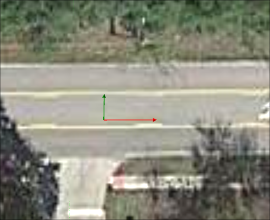
. - A 2-Axis coordinate system icon will appear on your cursor. Click once to establish the origin of the coordinate system. Use the mouse to rotate the system if necessary and click again to finish.
- Use the Virtual Survey Properties box to adjust point information, such as: Name, size, and text height.
- Left-click to place a point. The point will appear on the Coordinate Data Table Form.