Getting Started with As-Built for AutoCAD Software
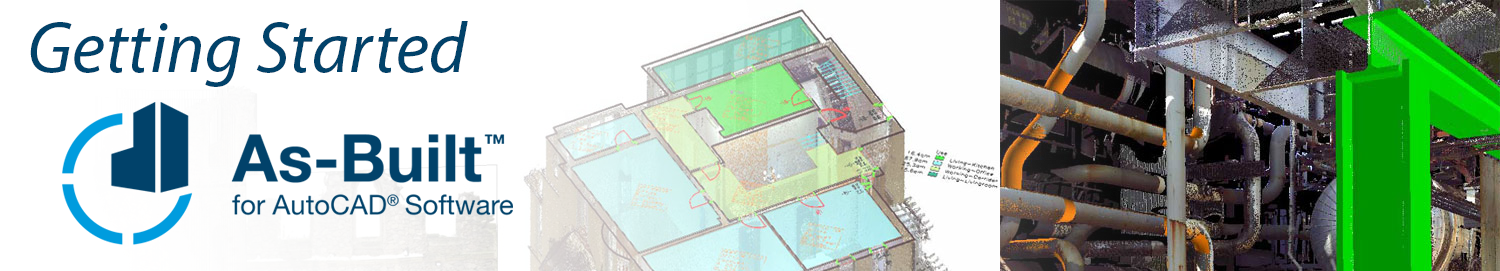
The FARO® As-Built™ for AutoCAD® is the follow-up product of all PointSense for AutoCAD Products. It contains the functionality of PointSense Pro, Building, Heritage and Plant plus additional features. As-Built for AutoCAD is available in many languages.
As-Built for AutoCAD provides powerful tools to derive plans, image plans and 3D models from point clouds for as-built data collection and planning in architecture, construction and engineering. Plant components and piping systems can be automatically detected and recorded with all their parameters. Exact connection points can be determined without modeling. Analysis tools serve for quality control of the modeled object as well as for the determination and visualization of deformations. The integrated feature data capture is useful for facility management and real estate management, as well as for component lists from piping systems or for damage mapping on facades of historical buildings.
Photogrammetry tools are a valuable addition to the inventory and documentation of historical buildings in particular in historic preservation and building research. An interface to total stations complements the range of functions and enables the staking out of points from the design into reality. When measuring the total station becomes a 3D mouse. Measurements are transferred directly to AutoCAD.
Note: Photogrammetry tools and Total Station support is not available in As-Built for AutoCAD version 2024 and later.
Getting Started Tutorials
Working with Scan Data
Tutorial Creating a Floor Plan:
|
|
After this tutorial you will be able to:
|
| Download English Tutorial | Download Deutsche Tutorial |
Evaluating Scans of Pipe-runs and Steel Constructions
Following tutorials can all be done with the same data set, a scan project of an industrial plant. You only have to download the material once. You can execute them in any sequence.
Tutorial: Prepare a Drawing for As-Built Plant Tools
|
|
|
Tutorial: Pipes
|
|
|
Tutorial: Steel
|
|
|
Tutorial: Tie-In Points
|
|
|
Tutorial: Tank Analysis
|
|
|
Capturing Feature Data
Tutorial Area Management:
|
|
|
Feature Data Tutorial II - Part 1: Data Capture:
|
|
|
Feature Data Tutorial II - Part 2: Inherited Attributes and Links:
|
|
|
Feature Data Tutorial III - Part 1: Draft a Structure Definition:
|
|
|
Feature Data Tutorial III - Part 2: Model and Configure a Data Structure:
|
|
|
Feature Data Tutorial III - Part 3: Data Capture:
|
|
|
Archaeological Excavation Tutorial
|
|
|
Facade Damage Mapping Tutorial - Part 1: Data Capture
|
|
|
Facade Damage Mapping Tutorial - Part 2: Customize a Structure Definition
|
|
|
Using Photogrammetry
Note: Photogrammetry tools and Total Station support is not available in As-Built for AutoCAD version 2024 and later.
Tutorial Image Rectification by Control Points:
After this tutorial you will be able to:
- Import control points and define a rectification plane,
- Load a photo and assign control points to image points ,
- Rectify a photo by removing central perspective distortion, and
- Clip and merge photos to one complete image plan
| Download English Tutorial | Download Deutsche Tutorial |
Tutorial Image Rectification by Geometry:
|
|
|
Tutorial Oriented Images
Following 3-part tutorial can all be done with the same data set. You only have to download the material once.
| Download English Tutorial | Download Deutsche Tutorial |
Tutorial Oriented Images - Part 1 of 3: Image Orientation:
|
|
|
Tutorial Oriented Images - Part 2 of 3: Import:
|
|
|
Feature Videos
Looking for more videos... Click Here
Point Clouds
|
Scan Navigation (Building) |
SmartSnap (Edge or Corner) |
|
SmartSnap (Real Lowest Point) |
Photo-realistic Scan Views |
|
Section Management |
Clash Detection |
|
Deformation Analysis |
Scan Navigation (Industrial Plant) |
Photogrammetry
Note: Photogrammetry tools and Total Station support is not available in As-Built for AutoCAD version 2024 and later.
|
True scale photo rectification |
Merging images in PhoToPlan |
|
The result of the merging images process |
Adding detailed 2D line work in PhoToPlan |
Tips & Tricks
|
Export an RCP Point Cloud from SCENE |
Create an RCP Point Cloud with ReCap |
|
Insert an RCP Point Cloud |
Useful AutoCAD Settings |
|
Bridge Clearance |
Topographic Extractions |